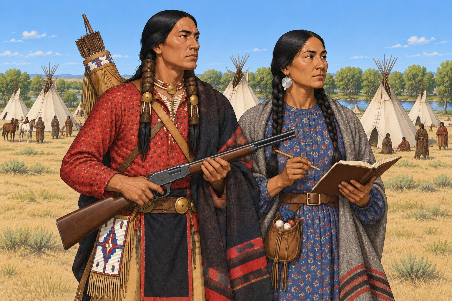
Each Tribal Nation active in the Wyoming and Colorado corridor, and on its edges, has its own section: where its people lived in 1874, how they governed themselves, how they made a living, what treaties they signed and what those treaties said, how they dealt with the Army, the agencies, the railroads and each other, and what a table needs to play with or against them. The group name is Tribal Nations. The people of a nation are its Tribal Peoples. Each nation has its own government, fighting men, economy and diplomacy. They did not act as a single faction.
Period spellings. Documents of the day spell "Ogallala" and "Arapahoe", and the 1868 Fort Laramie treaty uses the first. Names here follow the nations' own spelling; the period spelling appears only inside a quoted document.
Tribal languages. A character who speaks a Tribal language is recorded as such on the sheet; the exchange is played in English (see Tongues in Skills and Talents).
Between the Nations. The nations made their own agreements before the United States wrote treaties with them. Since 1840 the Southern Cheyenne and Arapaho have kept a peace with the Kiowa, Comanche and Plains Apache, made near Bent's Fort; it still holds, and those nations signed Medicine Lodge together in 1867. At Horse Creek in 1851 the northern nations pledged peace among themselves and accepted boundaries. That peace frayed within a few years: the Lakota moved into country the treaty had called Crow, and in Red Cloud's War the Lakota, Northern Cheyenne and Northern Arapaho fought the Army and the Crow together.
Allies and enemies in 1874. That alliance is the strongest tie in the corridor. It rests on shared camps and joint war parties, not on one council; each nation signed its own 1868 treaty. Its standing enemies are the Crow, the Shoshone and the Pawnee: a Lakota and Cheyenne raid on a Shoshone camp at Trout Creek in 1872; Oglala and Brule war parties on the Pawnee hunt at Massacre Canyon on 5 August 1873, at least 69 killed; Shoshone riders on an Arapaho village at Bates Creek on 4 July 1874. The Ute fight the Arapaho and Cheyenne on the plains; few clashes fall in the play years.
What the government made of it. The Army and the agencies worked along these lines. Pawnee, Shoshone and Crow men enlisted as scouts against the Lakota and Cheyenne; 86 Shoshone and about 175 Crow rode with Crook at the Rosebud in June 1876. Each nation has its own agency and ration roll.
The Nations at a Glance
The table gives the situation on the map date, 1 September 1874.
| Nation | Where its people were in 1874 | Agency or status | Main treaties and agreements |
|---|---|---|---|
| Oglala Lakota and other Lakota bands | Great Sioux Reservation west of the Missouri; Powder River and Bighorn hunting country; many Oglala at or near Red Cloud Agency, northwest Nebraska | Red Cloud Agency (Oglala); Spotted Tail Agency for the Sicangu (Brule); bands outside the agencies | 1851 Fort Laramie; 29 April 1868 Fort Laramie (Oglala band signing 25 May; Red Cloud group 6 November) |
| Northern Cheyenne | Powder and Tongue River country; many at or near Red Cloud Agency | Attached to the Sioux agencies; no reservation of their own until 1884 | 1851; 10 May 1868 Fort Laramie (with the Northern Arapaho) |
| Southern Cheyenne and Southern Arapaho | Reservation on the North Fork of the Canadian River, Indian Territory | Darlington Agency, established 1870 | 1851; 1861 Fort Wise (Southern Arapaho); 1867 Medicine Lodge; executive order of 10 August 1869 |
| Northern Arapaho | Wyoming plains and the Wind River country; at Red Cloud Agency in 1875 | No reservation of their own until 1878 | 1851; 10 May 1868 Fort Laramie |
| Eastern Shoshone | Wind River Reservation, Wyoming Territory | Shoshone Agency; Camp Brown (from 1871 at the present Fort Washakie site) | 1863 and 3 July 1868 Fort Bridger; 1872 cession ratified 1874 |
| Ute (confederated bands) | Western Colorado: the 1868 reservation, reduced in the San Juan country by the 1873 agreement | Los Pinos Agency (Tabeguache); White River Agency (northern bands) | 2 March 1868 treaty; 13 September 1873 Brunot Agreement, ratified 29 April 1874 |
| Crow | Reservation in Montana Territory | Crow Agency | 7 May 1868 Fort Laramie |
| Pawnee | Nebraska reservation, then removal to Indian Territory 1873 to 1875 | Pawnee Agency | 1857 treaty; Pawnee Scouts under the Army |
| Bannock | Fort Hall country, Idaho, after leaving Wind River | Fort Hall | 3 July 1868 Fort Bridger |
| Kiowa and Comanche | Southern Plains, Indian Territory and Texas | Agencies in Indian Territory | 1867 Medicine Lodge; the Red River War of 1874 |
Treaties and Agreements Used in This Chapter
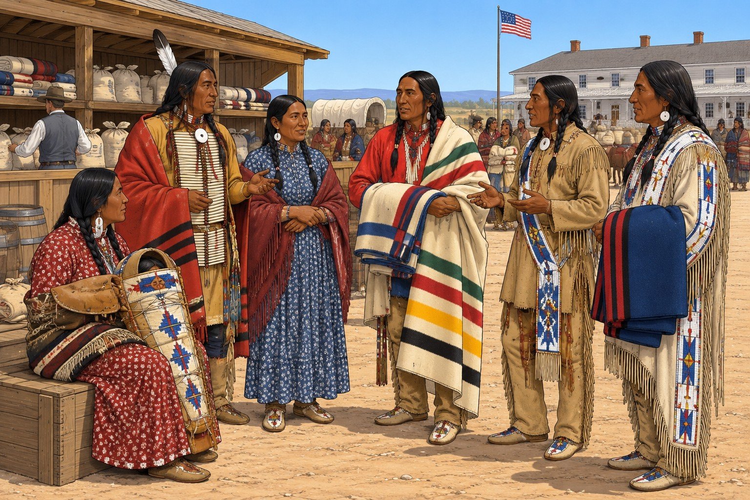
Treaties are the legal frame of the period. The Tribal Nation, the Army and the agent often read the same treaty differently.
| Date | Instrument | Principal terms (paraphrased) |
|---|---|---|
| 17 September 1851 | Fort Laramie Treaty (Horse Creek) | Signed near Fort Laramie by the United States and the Cheyenne, Lakota, Arapaho, Crow and other nations. Territories recognized (Lakota and the Black Hills; a shared Cheyenne and Arapaho area south of the North Platte; Crow land west of the Powder River). Safe passage on the Oregon road and permission for roads and forts. $50,000 a year in goods for 50 years promised; the Senate cut the term to 10 years, and the Crow did not accept the change. |
| 2 July 1863 | Fort Bridger Treaty | About 44 million acres of Eastern Shoshone territory defined; safe passage for roads, stations and telegraph; about $10,000 in goods a year for 20 years. |
| 1867 | Medicine Lodge Treaty | Reservation for the Southern Cheyenne and Southern Arapaho; the tribes did not settle the described land. |
| 2 March 1868 | Ute treaty | Seven Ute bands; a reservation in western Colorado; two agencies; ratified with amendment 25 July 1868, proclaimed 6 November 1868. |
| 29 April 1868 | Fort Laramie Treaty (Sioux) | See the Lakota section. Great Sioux Reservation; unceded territory; closing of the Bozeman road and forts; hunting rights; 30 years of clothing; three-fourths consent for land cessions. Ratified 16 February 1869, proclaimed 24 February 1869. |
| 7 May 1868 | Crow treaty | Reservation south of the Yellowstone; hunting on unoccupied lands; agency near Otter Creek; ratified 25 July 1868, proclaimed 12 August 1868. |
| 10 May 1868 | Northern Cheyenne and Northern Arapaho treaty | Choice of a reservation (see those sections). Ratified 25 July 1868, proclaimed 25 August 1868. |
| 3 July 1868 | Fort Bridger Treaty | Eastern Shoshone and Bannock (the treaty spells it Bannack). Wind River Reservation of about 3.05 million acres in 1868. Ratified 16 February 1869, proclaimed 24 February 1869. |
| 10 August 1869 | Executive order | Reservation on the North Fork of the Canadian River for the Southern Cheyenne and Southern Arapaho. |
| 3 March 1871 | Indian Appropriations Act | No further treaties with any Tribal Nation; earlier treaties stay in force. |
| 1872 and 1873 | Brunot cession and Brunot Agreement | The 1872 Shoshone cession (signed 26 September 1872, ratified 1874; about 710,000 acres from the southern part of the Wind River Reservation) and the 13 September 1873 Ute agreement (ratified 29 April 1874; about 3.7 million acres, estimates run 3.45 to 4 million; Article I keeps Uncompahgre Park for the Utes if the survey puts it inside the ceded tract). |

The Peace Policy and the Agencies
What it was. After taking office in March 1869, President Ulysses S. Grant put the Interior Department's agencies under a new arrangement: a Board of Indian Commissioners to advise the Secretary of the Interior and to oversee the appointment of agents, and the assignment of agencies to Christian denominations. An act of 1870 barred Army officers from serving as agents. A Tribal Nation that rejected the arrangement was handled by force, which the policy's critics called "peace by force." The Board of Indian Commissioners was created by act of 10 April 1869 (members named 3 June). By 1872, 73 agencies were assigned among 13 denominations (the Methodists held the most, 14), and Catholics received far fewer than they expected. The denominations' control of the agencies ended about 1882.
What an agent controlled. In the 1868 treaties the agent lives at the agency, keeps an office open for complaints, and records evidence of wrongs for the Commissioner of Indian Affairs, whose decision is binding subject to review by the Secretary of the Interior. The agent oversees the issue of rations and annuity goods, which under the Sioux treaty included clothing delivered by 1 August each year for 30 years, and meat and flour for four years for people who settled. An Army officer attends annuity deliveries under the Shoshone and the Northern Cheyenne-Northern Arapaho treaties. Those provisions are what an agent could hold back or deliver.
What the Army did. Soldiers did not run the agencies but guarded them. At the Sioux agencies the attitude toward the agents became hostile enough that the agents asked for troops; Camp Robinson (Red Cloud) and Camp Sheridan (Spotted Tail) date from 1874.
Which church. The Commissioner's 1872 list assigns Red Cloud, Whetstone (Spotted Tail) and the Shoshone agency at Wind River to the Protestant Episcopal Church, and Los Pinos and White River to the Unitarians. An agent's appointment and honesty could change a nation's year; Agent John J. Saville of Red Cloud Agency, in office from August 1873, was investigated by a special commission appointed in July 1875 on charges of fraud at the agency and resigned in December 1875.
The end of treaty-making. The Indian Appropriations Act of 3 March 1871 says that no Tribal Nation within the United States shall hereafter be recognized as an independent power with which the United States may contract by treaty, and that earlier treaties remain in force. After that date the government made agreements that Congress ratified as law. The Brunot Agreement of 1873 was ratified this way. The act's text does not treat Tribal Peoples as wards.
The Legal Status Question
In 1874 the status of the nations has no clean answer. The treaties and statutes establish these points:
-
Treaties were still law. Between 1851 and 1871 the United States signed treaties with the nations. In 1874 those treaties are in force and the Army, the agents and the nations all cite them.
-
Reservations were closed. Article II of the Sioux treaty bars unauthorized persons from settling in or passing through the reservation; the Ute treaty has the same language, and the Shoshone and Crow treaties set their reservations apart for the nations' "absolute and undisturbed use."
-
Off the reservation. The Sioux, Northern Cheyenne, Northern Arapaho, Shoshone and Crow treaties preserve a right to hunt on unoccupied lands while game lasts and peace holds. The Sioux treaty names the country north of the North Platte and the Republican Fork; the Brunot Agreement keeps Ute hunting in the ceded San Juan country while game lasts and the Utes are at peace with the white people. Who decides whether game lasts, and whether peace holds, is the agent, the Army and the territory.
-
Passes. The Pawnee were forbidden to leave their reservation without a pass from 2 May 1873. The Southern Cheyenne and Arapaho raids from the Canadian River reservation go out "without permission." A character without a pass may be treated as a lawbreaker by one officer and a guest by another.
-
Wrongs both ways. Article I of the Sioux treaty says that a white person who wrongs a Lakota is to be punished under United States law, and that a Lakota who wrongs a white person is to be handed over for trial, with losses repaid from annuities if the nation refuses.
-
Citizenship and the territories. Most Tribal Peoples were not United States citizens; citizenship depended on a treaty or statute, and the Supreme Court settled the general rule only in 1884, after the play range. Inside a reservation, federal law and the agent governed; a territorial sheriff or court acted there only in cases federal law gave it (Trade and Intercourse Act of 1834; the Organic Acts). A Tribal character in Cheyenne or Denver is in a town under territorial and municipal law, with the same Prejudice rules as every other group (see the Era Rules).
NOTICE: What a Treaty Does at the Table
When a player cites a treaty, the GM answers three questions: who signed for the nation, what the text says, and who in the room will enforce it. The first fixes whose consent the treaty records; the second is the paraphrase in this chapter; the third decides whether the treaty changes the scene.
Oglala Lakota and the Other Lakota Bands
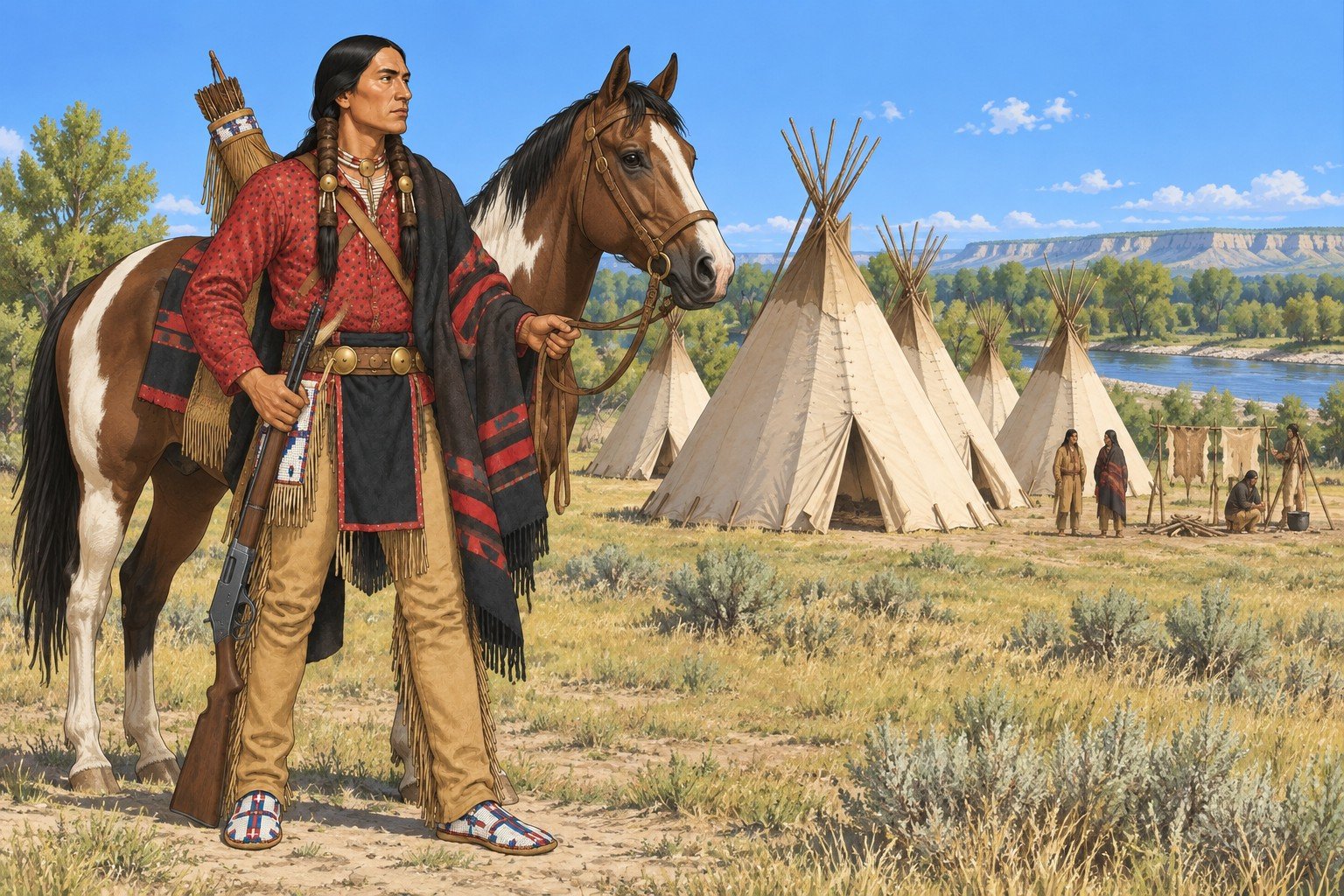
Who They Are and Where They Were
The Lakota are the western division of the Sioux. The Oglala are one of the Lakota's tribes; the others are the Sicangu (Brule), Itazipco (Sans Arc), Sihasapa (Blackfoot Sioux), Oohenumpa (Two Kettle), Hunkpapa and Miniconjou. The 1868 treaty's list of signing bands names "Brule, Ogallala, Minneconjou, Yanctonai" and others.
In 1874 their world has three parts:
-
The Great Sioux Reservation. Article II of the 29 April 1868 treaty sets apart the land west of the Missouri River, bounded by the Nebraska line on the south, the 104th meridian on the west and the 46th parallel on the north, for their exclusive use. The Black Hills lie inside it.
-
Unceded territory. Article XVI designates the country north of the North Platte and east of the summits of the Bighorn Mountains as unceded Indian territory, closed to white settlement without consent. The Army was to abandon its posts there and close the road to Montana.
-
Hunting country. Article XI keeps their right to hunt north of the North Platte and on the Republican Fork while buffalo remain.
The agencies the Oglala use in this period are on the corridor's edge:
| Date | Event |
|---|---|
| 1871 | Red Cloud Agency is established on the North Platte near Fort Laramie. It is responsible mainly for the Oglala and also for some Cheyenne and Arapaho. |
| August 1873 | The agency moves to a hill above the White River in northwest Nebraska, near present Crawford. A schoolhouse comes later and two trading stores stand beside it. |
| February 1874 | Frank Appleton, acting agent in Agent Saville's absence, is killed on 9 February; a siege of the agency by about 300 warriors follows and the agent calls for troops. The tent camp beside the agency takes its name from Lieutenant Levi Robinson, killed near Fort Laramie that month, and is named Camp Robinson on 29 March 1874. |
| 1874 | The Brule agency, Whetstone Agency on the Missouri until June 1871 and then on White Clay Creek, moves to Beaver Creek in northwest Nebraska and is called Spotted Tail Agency from 1874; Camp Sheridan is placed beside it that year (see Places and Campaign Tools). |
| December 1875 | Agent John J. Saville resigns after the special commission of 1875 investigates fraud charges at the agency. |
Numbers. About 13,000 people were present for the June 1873 issue, in 1,858 lodges, mostly Oglala. The Black Hills Council of 1875 drew an estimated 20,000 people at most within fifty miles of the agency, women and children included; that is an estimate, not an enrolment.
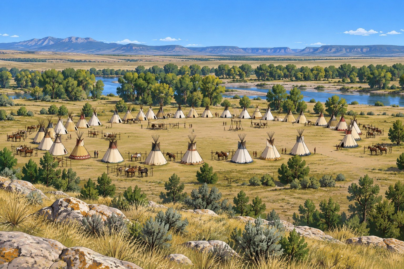
Government and Leadership
The following comes from modern reconstructions of recorded Lakota teachings.
-
Family and band. The basic unit is the tiospaye, an extended family related by blood and marriage. Several tiospaye align by agreement into a band, and the people choose an itancan (leader) who serves until he steps down or is replaced.
-
Councils. In traditional governance a council of respected older men deliberates public matters and chooses the itancan; advisors and a lead crier help; and enforcement belongs to the akicita, who answer even to the council. At large summer gatherings a select society of leaders governs and chooses four wicasa yatapika (shirt wearers), younger men with battle records who serve as guardians of the whole people for life unless removed.
-
Men's societies. Seven are recorded: Tokala, Ihoka, Cante Tinza, Wincin Ska, Kangi Yuha, Ainila Wotapi and Sota Yuha. Societies choose their members; a young man does not ask to join. Each year a society takes the honor of keeping the peace in camp, directing movement, settling disputes between families and caring for women, elders, orphans and the poor.
-
Moving and hunting. Authority narrows in a crisis. During a camp move or a communal buffalo hunt, appointed officers hold exclusive control and the akicita enforce their orders, and ordinary consultation resumes afterward.
-
Women. Oglala women hold property rights; the family lodge and what is in it belongs to the woman, except her husband's hunting, medicine and war equipment. A woman could end a marriage by placing her husband's belongings outside. They did not sit in the men's councils; they exercised authority through the household and the family.
-
Values. The four virtues are bravery, fortitude, integrity and generosity.
Diplomacy. No one speaks for all the Lakota. A band's leader speaks for that band; a society acts for that society; a delegation from the agency does not represent the bands that stayed in the north. When the United States signs with one leader, it has an agreement with that leader.
Dated History, 1865 to 1876
| Date | Event |
|---|---|
| 1865 to 1868 | Red Cloud's War: Lakota, with Cheyenne and Arapaho allies, resist the forts on the Bozeman road. |
| December 1866 | Fetterman Fight near Fort Phil Kearny. |
| 2 August 1867 | Wagon Box Fight. |
| 29 April 1868 | Treaty of Fort Laramie signed. Oglala signing block dated 25 May 1868; a Red Cloud group signs 6 November 1868 after the posts are left unoccupied. |
| Early June 1870 | On 4 and 8 June Red Cloud and other leaders meet the Commissioner of Indian Affairs and the Secretary of the Interior in Washington, with a Brule party that arrives separately. |
| 1871 | Red Cloud Agency established. |
| 25 May to 3 June 1872 | Red Cloud's second delegation, 26 of his own people with him, is in Washington; the agency moves to the White River the next year (above). |
| 2 July 1874 | The Black Hills Expedition (7th Cavalry) leaves Fort Abraham Lincoln; gold is reported in August, and the newspaper "GOLD!" headlines run on 27 August. The treaty bars white entry to the reservation. |
| May 1875 | Delegations headed by Red Cloud, Spotted Tail and Lone Horn go to Washington to ask the President to honor the treaty and stop the miners; they refuse a proposal to sell the Black Hills and move to Indian Territory. |
| 20 September 1875 | The Allison Commission convenes a council near Red Cloud Agency. It offers to buy the Hills for $6 million or lease mining rights for $400,000 a year; both are rejected. Bands outside the agencies do not attend. |
| 6 December 1875 | The Commissioner of Indian Affairs orders the nonagency bands to report to the agencies by 31 January 1876. |
What Red Cloud said in Washington in June 1870 is on record in paraphrase: that goods sent to his people were mostly stolen along the way, that he had received only a paper to sign for his land and nothing for the railroad's crossing, that he did not want a reservation on the Missouri, and that he asked for powder so his people could hunt. The commissioners answered that the President would not allow prospectors into Sioux territory, that rations and promised goods would continue, and that no guns would be given until the Lakota proved they were at peace with settlers.

Economy
The Lakota economy rests on the buffalo hunt, horses and trade. After 1868 it also rests on the agency. The treaty promises clothing every year, meat and flour for four years to those who settle, a cow and a pair of oxen to each farming family, 320 acres to a head of family who farms, and a school for every 30 children. The farming and schooling articles are the government's program. Many Lakota use the issue and keep hunting. At Red Cloud Agency in 1875 rations were poor and annuity flour was so bad that it was sold as horse feed. A trader's store beside the agency is where the Lakota exchange hides and robes for cloth, cartridges and food.
Relations
-
Army. The Army is a presence at Fort Laramie, at Camp Robinson and at Camp Sheridan, and an adversary in the north. Article XI binds the Lakota not to oppose military posts south of the North Platte.
-
Railroads. The 1868 treaty binds them not to oppose the building of railroads, and in the same article closes the Bozeman road. In Cheyenne the Union Pacific ties the town to the agencies by freight: Camp Carlin, the Army's depot at Fort D.A. Russell, supplies Army posts and agencies.
-
Other nations. Red Cloud Agency also serves Northern Cheyenne and Northern Arapaho. A Lakota and Cheyenne raid on a Shoshone camp at Trout Creek in 1872 was driven off. The Northern Arapaho fought with the Lakota and Cheyenne in Red Cloud's War.
-
Settlers and miners. The Black Hills expedition of 1874 and the rush that followed are the break. By 1876 the treaty is in open conflict, and the Great Sioux War begins. The play range ends before the war's end.
Roles at the Table
War leader or society member; hunter; scout for the Army or for the band; akicita; headman or counselor; trader's partner; interpreter's partner; agency issue-clerk's customer; woman who heads a household, holds property, and decides where a family camps. The Oglala Lakota warrior of the Era Cast is a fighting man, hunter and scout.
The Short Wagon
A freight wagon of agency flour arrives at Red Cloud Agency and the sacks are half-filled with grit. The agent says the contractor shorted him; the contractor says the railroad shorted him; the band's akicita want a name before the next issue day. The party can be the freighter's escort, the Army's inspector, the trader who wants the contract, or the delegation sent to complain. Failure leaves a hungry camp and a quarrel with the nearest post.
Northern Cheyenne
Who They Are and Where They Were
The Cheyenne call themselves Tsistsistas (Cheyenne and Arapaho Tribes). The Cheyenne are divided into northern and southern peoples, as the Arapaho are: the Northern Cheyenne ranged the Powder and Tongue country and the Southern Cheyenne the Arkansas and Canadian. The division grew in the 1830s, when trade at Bent's Fort on the Arkansas drew bands south, and the 1851 treaty fixed it. Sand Creek in November 1864, where Colorado militia attacked a Cheyenne and Arapaho camp, is the event the Cheyenne and Arapaho of 1874 remember most.
By the 1868 Fort Laramie treaty the Northern Cheyenne and Northern Arapaho gave up claims to other territory and agreed to make their permanent home on part of either the Medicine Lodge reservation or the Sioux reservation, with different portions of the nation free to choose different places. Within one year they were to attach themselves to one of three agencies: Medicine Lodge Creek, the planned agency on the Missouri near Fort Randall, or the Crow agency near Otter Creek. In practice many Northern Cheyenne lived with the Lakota and drew rations at Red Cloud Agency. The Tongue River Reservation was created only on 16 November 1884, outside the play range.
Government and Leadership
Two institutions carry Cheyenne government. The Council of Forty-Four is made up of chiefs chosen from the bands, serving ten-year terms that may be renewed, who hold responsibility for the people as a whole. The military societies keep discipline, oversee hunts and lead in war; the Dog Soldiers became the best known, and the Fox (Kit Fox) society exists in both the north and the south. Tradition credits the prophet Sweet Medicine with founding both the council and the original societies. The council's influence is said to have waned amid internal disagreement over policy toward settlers, and Sand Creek dealt it a severe blow.
A treaty with the Cheyenne binds those who sign and those who stand behind them. The 1868 signers spoke for their own bands; the military societies decided their own response to settlers.
Dated History
| Date | Event |
|---|---|
| 1851 | Fort Laramie Treaty recognizes a shared Cheyenne and Arapaho area south of the North Platte. |
| 29 November 1864 | Sand Creek. |
| 1865 to 1868 | Cheyenne warriors fight with the Lakota; Cheyenne warriors burn Fort Phil Kearny after the Army abandons it. |
| 10 May 1868 | Treaty with the Northern Cheyenne and Northern Arapaho at Fort Laramie. |
| November 1873 | Dull Knife and Little Wolf lead a delegation of Northern Cheyenne and Northern Arapaho leaders to Washington and say they have never given up their northern homelands and will not move south (Factions and Powers, which carries the open question of whom they met). |
| 1876 | The Northern Cheyenne ally with the Lakota in the Great Sioux War. |
| 1877 | Dull Knife's and Little Wolf's bands surrender and are sent to Indian Territory (outside the play range). |
Economy
A mounted economy of buffalo and horses. The 1868 treaty gives them 30 years of goods delivered each 1 September, clothing for males over 14 and females over 12, cloth and stockings for children, and $10 a year per person who roams and $20 per person who farms for ten years; those who settle receive meat and flour for four years and a cow and oxen per family within 60 days. The treaty reserves the right to roam and hunt off the reservation while game lasts.
Relations
Allied with the Lakota and Northern Arapaho in Red Cloud's War and the Great Sioux War; in negotiation with the Army and the agents over where the treaty lets them live.
Roles at the Table
Society member and war leader; scout; council delegate; trader's family; hunter. The Northern Cheyenne interpreter of the Era Cast is a woman of about thirty-eight whose father was a French-Canadian trader and whose mother was Northern Cheyenne. She speaks Cheyenne, Lakota, French and English. She is a go-between whom the Army pays and the nations trust as far as she is useful. An interpreter at a council decides which words arrive, so what is and is not translated can drive a scene.
Southern Cheyenne and Southern Arapaho
The Southern Cheyenne and Southern Arapaho are two nations that share an agency. They lived on the Colorado plains and the Arkansas River until the 1860s. They reach Denver and Cheyenne through the memory of Sand Creek and through people traveling north to kin.
Dated History
| Date | Event |
|---|---|
| 1851 | Fort Laramie Treaty. Shared territory between the North Platte and the Arkansas. |
| 1861 | Fort Wise Treaty. The southern bands signed away most of their land for a small reservation on the Arkansas; many said the signers did not represent the nations, and no Northern Arapaho chiefs signed. |
| 29 November 1864 | Sand Creek. |
| October 1867 | Medicine Lodge Treaty creates a reservation in Indian Territory. The tribes did not want to live there. |
| 27 November 1868 | Washita. Lt. Col. George Custer's 7th Cavalry attacks a Southern Cheyenne camp led by Black Kettle. |
| 10 August 1869 | Executive order sets aside land on the North Fork of the Canadian River. |
| 1870 | Darlington Agency is established; Fort Reno follows in 1874 at the agent's insistence. |
| 1874 to 1875 | Red River War. Cheyenne, Comanche and Kiowa attack buffalo hunters at Adobe Walls on 27 June 1874 (attackers' numbers vary); Colonel Mackenzie destroys the Kiowa and Comanche horse herds in Palo Duro Canyon on 28 September 1874, and Quanah Parker's Comanche band surrenders at Fort Sill on 2 June 1875. After the campaign nearly all the Southern Cheyenne and Southern Arapaho live on the reservation, and some are held at Fort Marion in Florida. |
Government and Leadership
The Southern Cheyenne use the same two institutions as the Northern Cheyenne, the council and the military societies; the Dog Soldiers were the most powerful political force in the later 19th century. Arapaho government, as the Arapaho Project records it, is a council and a series of age-graded societies in which men move through grades as a group. Accounts differ on how many societies there were (six or seven); band leaders were older men; the federal recognition of "chiefs" began in the 1840s and those chiefs served as intermediaries between the council and federal officials. Individuals and households could move between bands. Little Raven, the Southern Arapaho principal chief, signed at Fort Wise in 1861 and Medicine Lodge in 1867 and kept most of his people at the agency through the 1874 war; Powder Face, a war leader, held his men there that year (Factions and Powers).
Economy and Agency
The Medicine Lodge treaty gave the nations the right to hunt buffalo south of the Arkansas, a right professional hunters soon ignored. Raiding parties left the reservation without permission, especially to Texas and Kansas. Agent Brinton Darlington, a Quaker, established the agency in 1870.
Roles and Table Use
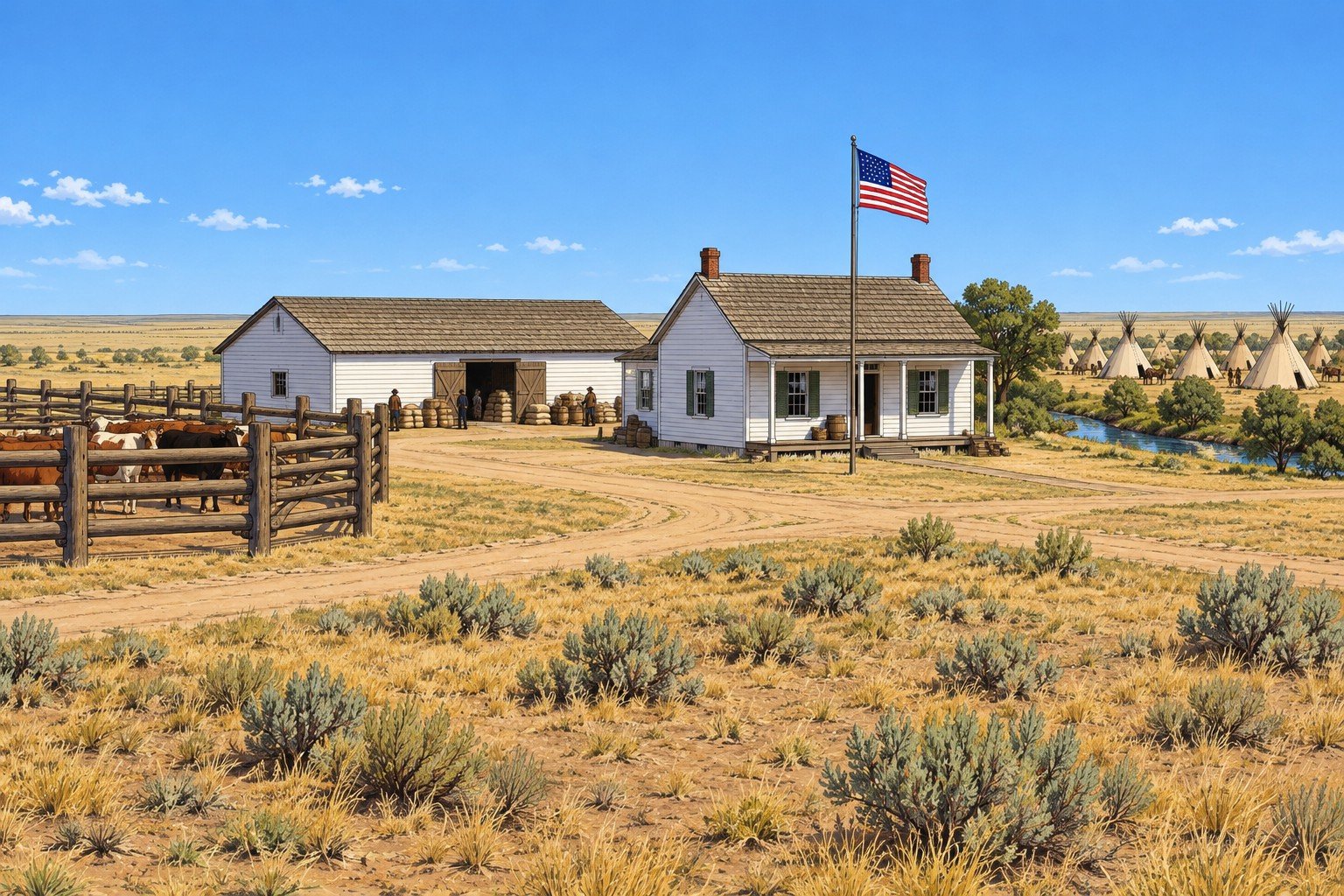
Because their reservation lies in Indian Territory, a Southern Cheyenne or Southern Arapaho character in the corridor is a traveler, a trader, a prisoner's relative, a visitor or someone passing between kin in the north.
Northern Arapaho
Who They Are and Where They Were
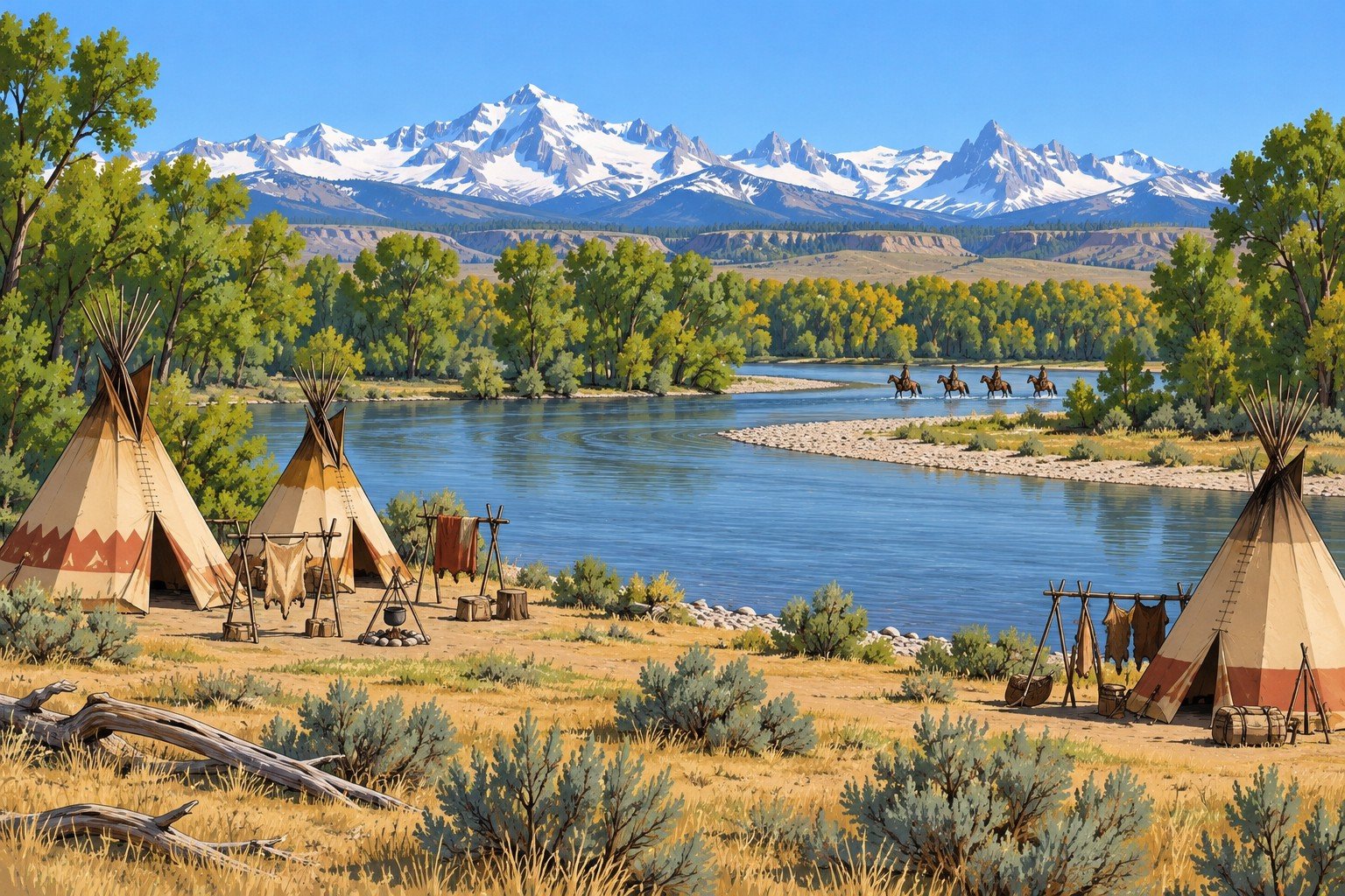
The Arapaho call themselves Hinono'ei (Cheyenne and Arapaho Tribes). After trading posts rose at Bent's Fort and Fort Laramie the nation divided into northern and southern groups centered on those river valleys. The Northern Arapaho range over the Wyoming plains and the Colorado mountains, which their elders still call their homeland.
In 1874 they have no reservation. The 10 May 1868 treaty offered them the same three choices as the Northern Cheyenne, all of which they disliked, and the government promised 30 years of annuities. No reservation was located for them. In spring 1878 about 950 Northern Arapaho arrived under Army escort on the Wind River Reservation, which they would share with the Eastern Shoshone; the first group of 21 lodges under Black Coal arrived on 18 March 1878.
Government and Leadership
The Arapaho have a governing council and an age-graded series of men's societies; the council is described as having four leaders representing four tribal subdivisions, along with elders who held ceremonial responsibilities and the leaders of the men's societies. Band leaders were typically older men. The Arapaho of the north and south acted through separate leaders.
Dated History
| Date | Event |
|---|---|
| 29 August 1865 | General Connor's column attacks Black Bear's village on the Tongue River; accounts give the dead as 33 to 64. The whole Northern Arapaho people then numbered about 180 lodges, about 1,100 people, and smallpox and cholera added to the losses. |
| 10 May 1868 | Fort Laramie treaty signed by Northern Arapaho leaders. |
| March 1870 | The Arapaho arrive on Wind River. On 31 March white vigilantes and some Shoshone attack Arapaho traveling to trade in Lander; about a dozen die, including a leader. The Arapaho leave. |
| 4 July 1874 | At Bates Creek, about 160 Shoshone warriors (30 of them Army scouts) and 60 cavalry under Captain Alfred E. Bates attack an Arapaho village; the Army estimates about 24 Arapaho killed and 200 horses taken. |
| 1875 | At Red Cloud Agency rations are poor and some Arapaho children starve. |
| 1876 | Arapaho scouts under Sharp Nose serve General Crook and take part in the November Dull Knife fight. |
| 1878 | The move to Wind River. |
Economy and Relations
The Arapaho are traders who move more than many Plains peoples. By 1870 and 1871 game is scarce, and the Arapaho depend on rations and goods. They fought alongside the Lakota and Cheyenne in Red Cloud's War, and they were at war with the Shoshone as late as 1874. In 1876 the Army hoped scouting service would win support for an Arapaho reservation; none was granted.
Roles at the Table
Scout; trader; band leader; hunter; society member. A Northern Arapaho character has no reservation, so the agency and the pass system bear on him more than on a Lakota.
Eastern Shoshone
Who They Are and Where They Were
The Eastern Shoshone Tribe's own account gives their presence in their homelands as more than 12,000 years, says they were the first in the region to acquire horses, and names Washakie as their leader. They treat Fort Bridger as their trading and annuity place in winter and the Wind River Basin as their wintering home.
Treaties and the Reservation
| Date | Event |
|---|---|
| 2 July 1863 | Fort Bridger Treaty defines about 44 million acres and promises about $10,000 in goods annually for 20 years. |
| 3 July 1868 | Fort Bridger Treaty creates the Wind River Reservation; the Shoshone give up claims outside it. The United States agrees to build an agent's house, a storehouse, a physician's house, housing for five tradespeople, a school and a steam sawmill with a grist mill. The nations keep the right to hunt on unoccupied lands. Heads of families may select 320 acres to farm and other adults over eighteen 80 acres. Goods are delivered each 1 September for 30 years. Until agency buildings exist the agent lives at Fort Bridger. |
| 1869 to 1871 | Camp Augur (1869) is renamed Camp Brown (1870) and moved on 26 June 1871 to the present Fort Washakie site, closer to the agency. |
| 26 September 1872 | The Shoshone agree to cede part of the reservation (the Brunot cession); Congress ratifies in 1874. The cession took about 710,000 acres from the southern part, for about $20,000 in cattle and $5,000 in cash. |
The reservation was about 3.05 million acres in 1868; the 1872 cession (signed 26 September 1872, ratified 1874) took about 710,000 acres from the southern part. Within a decade the government placed the Northern Arapaho on the same reservation, forcing the Shoshone to share land they considered their own.
Government and Leadership
Washakie is the central leader of the Eastern Shoshone, and the United States treated him as head of the band from the 1850s. Bands from the Great Basin joined him, which increased his weight. He signed the 1863 and 1868 Fort Bridger treaties; Bannock leaders signed the 1868 treaty separately. His position was not unchallenged; at one point young warriors wanted to oust him.
Economy
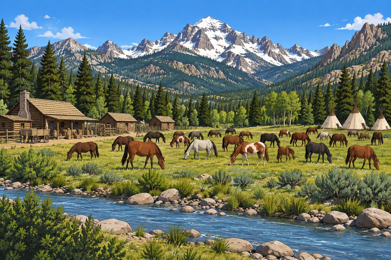
Buffalo hunting, horses and trade, with Fort Bridger as the trading point. In the 1870s Washakie resisted rapid settlement and kept a seasonal round, summers on Wind River and winters near Fort Bridger where annuity goods were handed out. Whites farmed in the Wind River Valley to supply the South Pass mining camps; an estimated 5,000 people at most lived in those camps and valley farms around 1868, more than the Shoshone on the reservation.
Relations
- Army. An ally. In June 1876 about 86 Shoshone riders joined General Crook's column and fought at the Rosebud on 17 June; Washakie reached Crook's camp in July with more men. Shoshone scouts also joined the Army's attack at Bates Creek on 4 July 1874.
- Other nations. Competitors of the Lakota, Cheyenne and Arapaho for hunting grounds; they fought the Crow in the late 1850s and the Arapaho as late as 1874. A Lakota and Cheyenne raid on a Shoshone camp at Trout Creek in 1872 was driven off. In the 1870s the Bannock under their own leaders share part of the territory.
- Settlers. Wyoming's first governor and superintendent of Indian affairs wanted the Shoshone to settle and to cede the southern third of the reservation, where whites already lived.
Roles at the Table
Scout and guide; horse trader; band leader; hunter; woman who manages a camp's goods and food. The Shoshone alliance with the Army is a political strategy to protect the Wind River country.
Ute
Who They Are and Where They Were
The Ute are a confederation of bands. The 1868 treaty and the 1873 agreement name seven: the Tabeguache (Uncompahgre), Muache, Capote, Weeminuche, Yampa, Grand River (Parianuche) and Uintah. The Muache and Capote are today the Southern Ute Tribe and the Weeminuche are today the Ute Mountain Ute; the Parianuche and Yampa together are the White River Utes, named for their agency.
| Date | Event |
|---|---|
| 2 March 1868 | Treaty with the confederated bands; signed in Washington by commissioners including Kit Carson; reservation across the western third of Colorado; ratified with amendment 25 July 1868, proclaimed 6 November 1868. About 5,000 Ute lived on the Colorado reservation in 1868. |
| 23 April 1872 and 1 July 1872 | An act of Congress authorizes negotiation to extinguish Ute rights to part of the reservation; a commission is appointed and fails because the Utes refuse to give up any of it. |
| 2 June 1873 | A new commission under Felix Brunot is appointed. |
| 13 September 1873 | Agreement signed at Los Pinos Agency by chiefs, headmen and men of the seven bands. |
| 29 April 1874 | Congress ratifies. |
The Brunot Agreement, as Written
Article I relinquishes a described tract of the reservation: from a point on the eastern boundary fifteen miles north of Colorado's southern boundary, west on a line twenty miles short of the western boundary, north to a point ten miles north of the 38th parallel, then east to the reservation's eastern edge. This is the San Juan mining country, about 3.7 million acres (estimates run 3.45 to 4 million). Article I keeps Uncompahgre Park for the Utes if the survey puts it inside the ceded tract. Article II keeps the Utes' right to hunt on the ceded land "so long as the game lasts and the Indians are at peace with the white people." Article III sets up a perpetual trust sufficient to produce $25,000 a year. Article IV promises an agency for the Weeminuche, Muache and Capote in the southern part of the reservation. Article VI gives Ouray, "head-chief of the Ute Nation," a salary of $1,000 a year for ten years or while he remains head chief and at peace. Article V reaffirms the 1868 bar on settlement everywhere outside the ceded tract. The Southern Ute Indian Tribe's own account says the Utes were led to believe the agreement allowed mining only in the San Juan Mountains but were forced to give up the land, and that it cut off seasonal camps and elk and deer harvests.
Government and Leadership
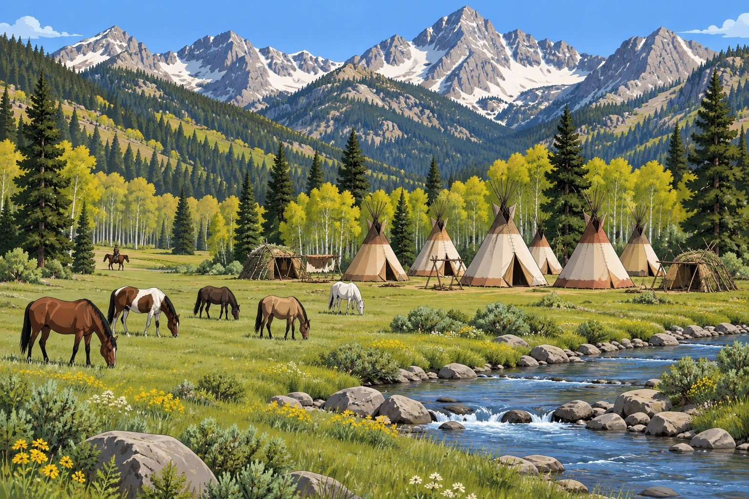
Ute politics is the politics of autonomous bands, each with chiefs and sub-chiefs. "Head chief of the Ute Nation" is the government's construct. The 1868 treaty named Ouray, of the Tabeguache, head chief of all the Utes; the other signers were not told the treaty said so, and the northern bands did not accept it. His authority rested on diplomacy and personal strength, and in 1872 five Tabeguache sub-chiefs tried to kill him at Los Pinos. Colorow, a Yampa band chief, signed the 1868 treaty, and his band camps near the Front Range. A deal with Ouray did not bind the White River bands, and the northern bands had their own agency on the White River near present Meeker.
Economy and Trade
The Ute economy is horses, hunting (elk and deer), seasonal camps and trade. Colorow's band is reported to have traveled with more than 1,000 horses and goats , wintered in the foothills near present Morrison and traded at James Castello's post near present Florissant, in the South Park country, from 1870. After 1873 the Utes depended on the $25,000 trust, rations, and the Los Pinos agent.
Relations
Miners in the San Juan country; the territorial government in Denver; Otto Mears, who helped end the Brunot stalemate; Los Pinos Agency, east of the reservation on Cochetopa Creek, moved after the cession to the Uncompahgre Valley south of present Montrose; the White River Agency, which "never functioned well." After the play range: the 1879 killing of the White River agent and the 1880 and 1881 removals.
Roles at the Table
Band leader; hunter; horse trader; guide for a mining party; interpreter; woman who manages a family camp.
The Line on the Map
A prospecting party has a map that puts a promising creek south of the Brunot line; the Ute guide who is hired says it is north. The agent, the Army officer, the mining recorder and the Ute headman each hold a different copy of the boundary. Whoever can read the text of Article I and walk the ground has leverage. A failed Survival or Lore (Land) check puts the party inside the reservation, and the next person to find them is not friendly.
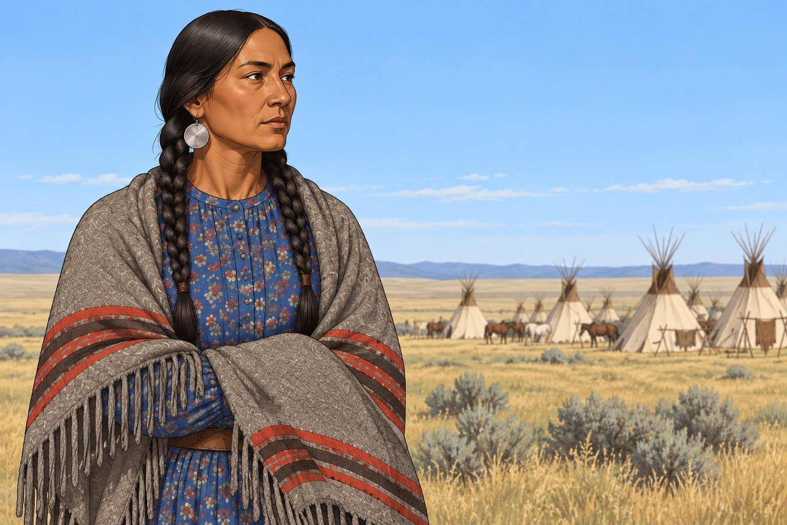
Shorter Entries: Nations on the Edges
Crow
The Crow Nation treaty was signed at Fort Laramie on 7 May 1868 (ratified 25 July, proclaimed 12 August 1868). It sets apart a reservation in Montana Territory bounded by the 107th meridian, the Yellowstone and the 45th parallel, with hunting on unoccupied lands while game lasts and peace holds, an agency near Otter Creek, and annuities of goods each 1 September for 30 years. The Crow were scouts for the Army in the 1870s, and Crow scouts are credited with preventing a worse defeat of General Crook at the Rosebud in 1876. The 1851 treaty recognized the Wind River Valley as Crow territory, until Shoshone power displaced them. At the table: the Crow have their own reservation, their own agent and their own reasons for working with the Army. Their interest in the Bighorn country is a hook for any party heading north.
Pawnee
The Pawnee Nation says Major Frank North was authorized in 1867 to enlist scout companies to protect the Union Pacific as it was built. Their reservation near the Loup River in Nebraska dates from an 1857 treaty; on 2 May 1873 they were forbidden to leave the reservation without a pass, and between one-fifth and one-fourth of the nation left for the Wichita Agency in Indian Territory in 1873. The rest were removed to Pawnee County, Oklahoma, in 1875 (the last party arriving in late November 1875). The scouts were re-formed in August 1876 and disbanded on 1 May 1877. At the table: a Pawnee scout is a soldier of the Army with a nation of his own; the Lakota and Cheyenne were his nation's enemies, and a Lakota attack on a Pawnee hunting party at Massacre Canyon, Nebraska, on 5 August 1873 killed at least 69 and hastened the removal.
Bannock
The Bannock (the treaty spells it Bannack) signed the 3 July 1868 Fort Bridger treaty with the Eastern Shoshone, which allows them a reservation in their own country on request; Taghee signed for them (the treaty spells him Tag-gee). An executive order of 30 July 1869 placed that reservation at Fort Hall, Idaho, where their agency and annuities were from then on. Accounts differ on when their main body left Wind River for the Fort Hall country in Idaho (1871 to 1872 or 1873); some of their people stayed with the Shoshone.
Kiowa and Comanche
The Kiowa and Comanche are Southern Plains powers whose home is Indian Territory and Texas, not the corridor; their part in this book is the Red River War of 1874, dated under Southern Cheyenne and Southern Arapaho, and a Kiowa or Comanche in the corridor is a rare traveler.
Roles Across the Nations
| Role | What it is | Found among |
|---|---|---|
| Warrior or society member | A man chosen by a society for skill and conduct; in Lakota practice the societies also police camp, direct moves and care for the weak. | Lakota (described); Cheyenne and Arapaho societies; Shoshone and Ute war leaders |
| Hunter | Buffalo, elk and deer provide food and trade goods; treaties preserve the right to hunt while game lasts. | All |
| Scout | Hired by the Army, an agent or a mining party; a political choice and a living. | Shoshone, Arapaho, Crow, Pawnee; Lakota and Cheyenne scouts for their own bands |
| Interpreter | Speaks more than one Tribal language and English; the Army pays; the nations trust as far as the person is useful. | All; the Northern Cheyenne interpreter of the Era Cast |
| Trader | Runs a counter or sells at an agency store; extends credit against hides and annuity goods. | All; Tribal and white traders |
| Headman or delegate | Speaks for a band or society, never for a nation; travels to councils and to Washington. | All |
| Horse breeder and herder | Horses are wealth, transport and war. | All |
| Woman who heads a household | Owns the lodge and its goods in Lakota practice; sets the camp's food, trade and education of children. | Lakota (described); other nations |
Beyond the Play Range
Dated events after the play range:
| Date | Event |
|---|---|
| September 1876 | The Northern Arapaho, Northern Cheyenne and Lakota sign away claims to the Black Hills in an agreement the government obtained, signed at Red Cloud Agency on 20 September 1876 and at Spotted Tail Agency on 23 September . Whether Article XII's three-fourths consent was met is the dispute that follows. |
| 1877 | The Lakota leaders at Red Cloud Agency surrender; the agency is moved in October 1877. |
| 1878 | The Northern Arapaho move to Wind River. Red Cloud Agency becomes Pine Ridge. |
| 1879 | The White River Agency incident; Ute removal follows in 1880 and 1881. |
| 1884 | Executive order creates the Tongue River Reservation for the Northern Cheyenne. |
| 1980 | In United States v. Sioux Nation of Indians the Supreme Court holds that the taking of the Black Hills required compensation. |